
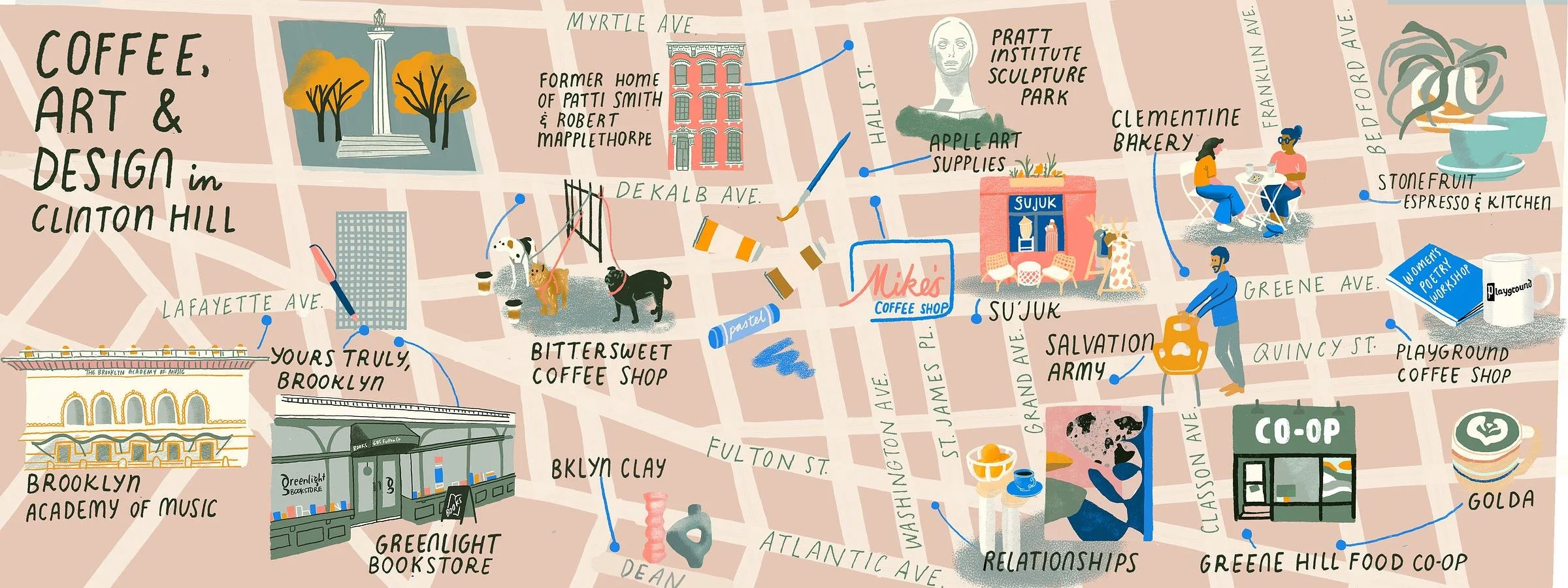

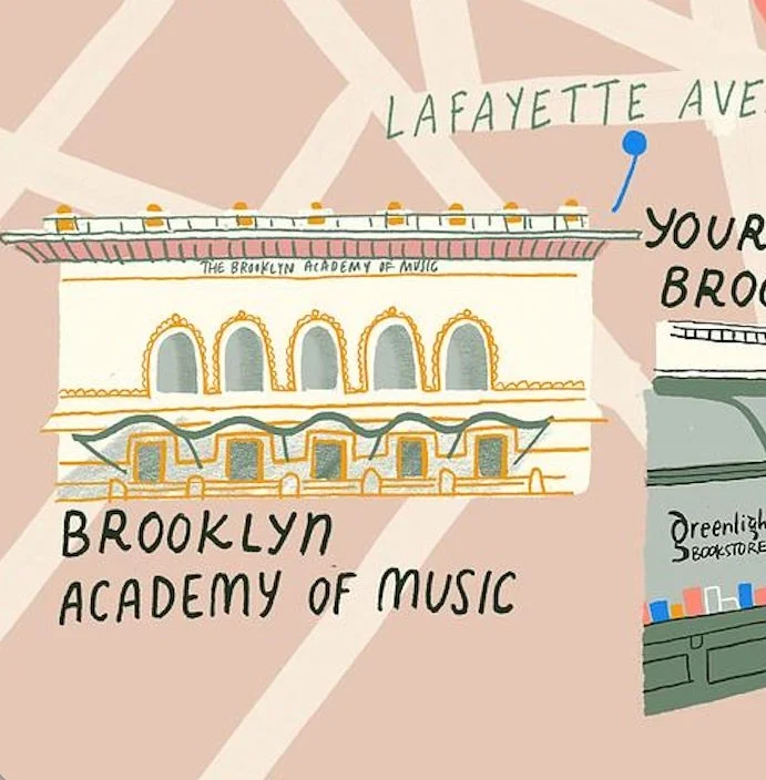


This is an illustrated map of the Clinton Hill neighborhood in Brooklyn, featuring local cafes, food and art destinations in the area. It was featured in They Draw and the book They Draw and Travel: 100 Illustrated Maps of Very Special Places (TDAT Illustrated Maps from Around the World) , published in 2020. You can also purchase an updated print of this map from my online shop.
Clinton Hill is a treelined Brooklyn neighborhood where artists, writers, makers, students and creatives have lived throughout history, and continue to make their marks today. Spaces for creating, thinking, and collaborating dot the map, creating an atmosphere that's ever-evolving against a backdrop of historic brick row houses and brownstones.
My map depicts the many cafes and community spaces that celebrate the arts, and even a few places that do both (like the women-run Relationships cafe and Playground Coffee Shop). There's imaginative spaces where you can sip coffee surrounded by modern art, places that imagine a more intentionally-designed food system, shops with vintage clothing and furniture, destinations for modern art and music, and even a few historic (maybe unofficial) arts landmarks. It's a special place that has fueled my creativity for years, and I hope you'll find some inspiration here, too